info@mforcegroup.com 141 Ave. José de Diego, San Juan, PR 00927
Surveying · Reality capture · Geospatial

Capturing Reality. Driven by innovation.

Backed by more than 20 years of proven expertise, MFORCE combines licensed professionals, advanced technology, and innovative solutions to deliver accurate data for every stage of your project.

20+Years of leadership experience
3Licensed jurisdictions
360°Field-to-finish expertise
Discover MFORCE
Built for difficult questions

Clarity begins with accurate data.

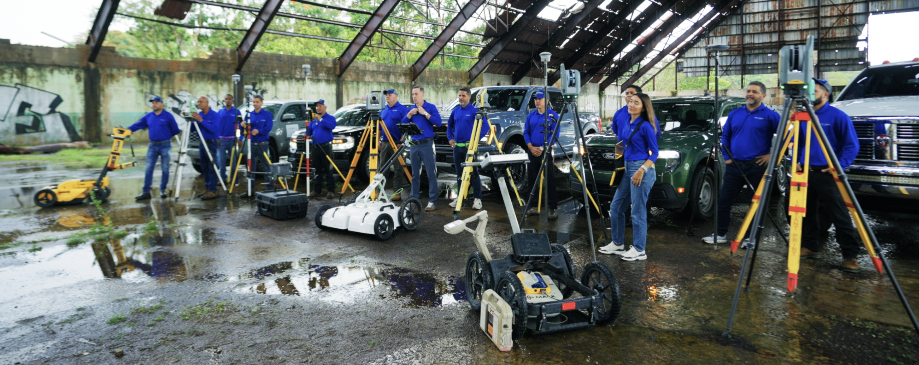
Our team combines professional judgment with modern capture technology to document the real world with confidence.

Company profileMFORCE in the field
Core capabilities

Our Services

View all services
01
Urban & Rural

Boundary Surveys "Mensura"

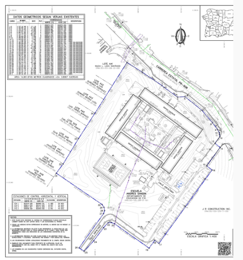
The purpose of a boundary survey is to establish the boundary lines of a new parcel of land, or to reestablish the boundary lines of an existing parcel. MFORCE conducts the necessary research and field data collection to accurately determine where property boundaries exist, mark the corners, document encroachments, and prepare a signed Certificate of Survey.
02
ALTA/ACSM–NSPS

ALTA/NSPS Land Title Surveys

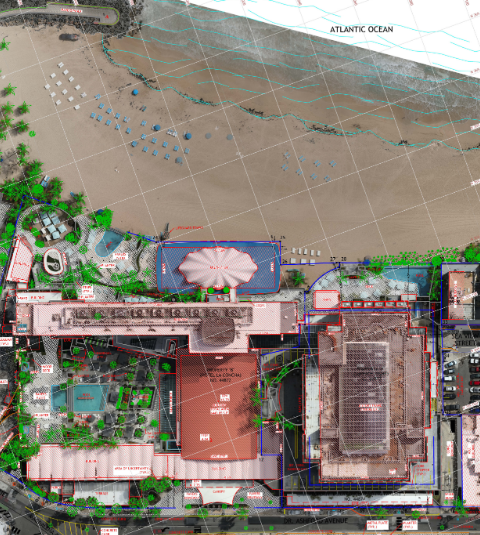
Prepared under standards developed by the American Land Title Association and the National Society of Professional Surveyors, these surveys give title insurers, buyers, and lenders a detailed drawing of buildings, improvements, easements, and property boundaries.

03
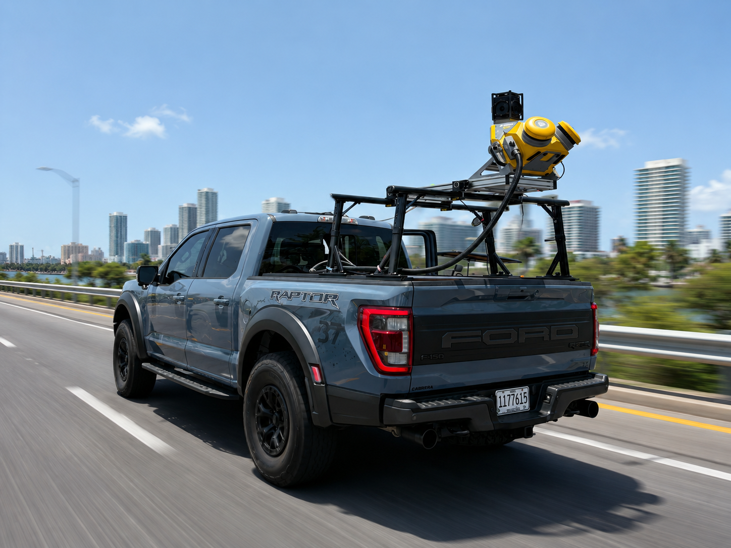
Trimble MX50

Mobile LiDAR Mapping

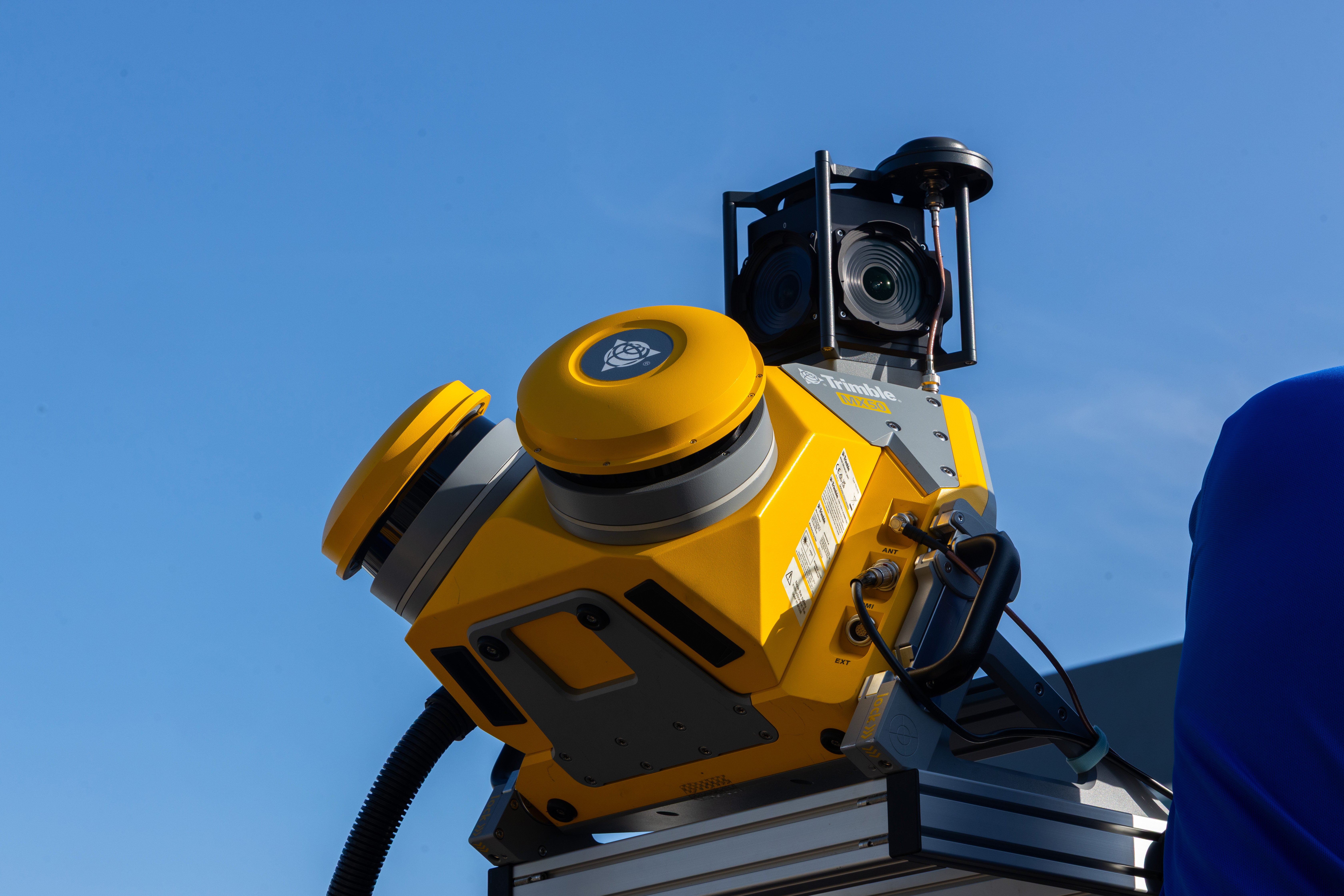
MFORCE leverages the Trimble MX50 Mobile Mapping System to provide fast, accurate, and efficient mobile LiDAR mapping services. It captures high-density georeferenced point clouds and immersive panoramic imagery at normal traffic speeds with minimal disruption, supporting transportation corridors, highways, utilities, municipalities, infrastructure, engineering design, asset management, GIS, and existing-conditions documentation.

04
Trimble X9

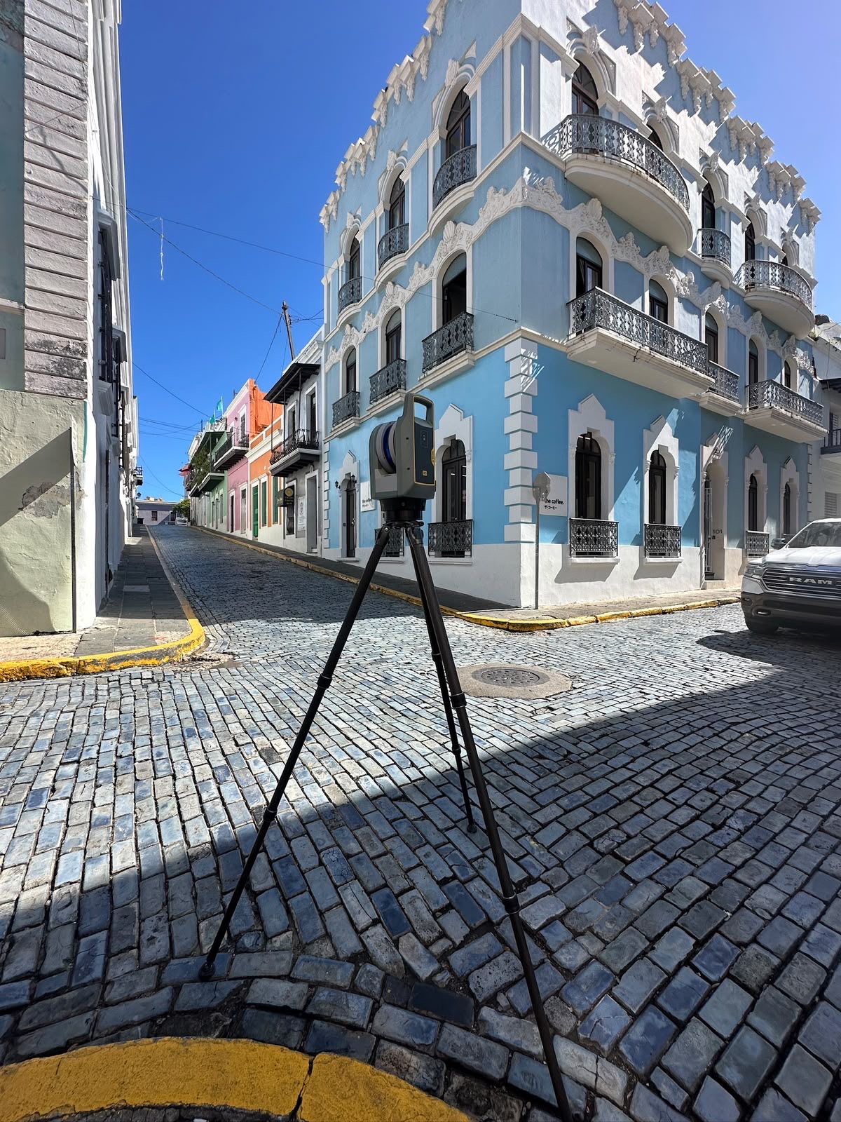
Terrestrial LiDAR · 3D Laser Scanning

Terrestrial LiDAR 3D laser scanning provides a fast and highly accurate method for capturing existing conditions in exceptional detail. Millions of precise measurements generate high-density point clouds for buildings, industrial facilities, bridges, utilities, BIM, asset management, renovations, and quality control.

05
BIM

BIM — Building Information Modeling

MFORCE combines point clouds, high-definition imagery, field verification, CAD, and professional land surveying expertise to create reliable models of existing conditions for design, construction, operations, and asset management.

06
SUE · Utility location

Subsurface Utility Engineering

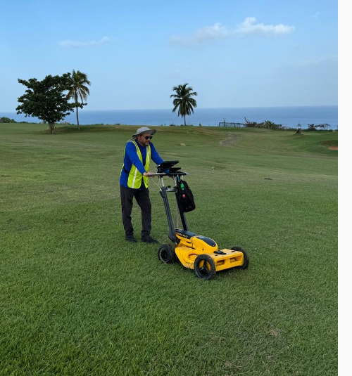
Utility location identifies and documents underground public utility mains, including telephone, electricity, natural gas, cable, fiber optics, traffic systems, storm drains, water mains, and wastewater pipes.

Selected work

From critical infrastructure to complex existing conditions.

See all projects
Commercial Building 3D Scanning in Hato Rey, San Juan, Puerto Rico
3D Scanning

Commercial Building 3D Scanning

Hato Rey, San Juan, Puerto Rico

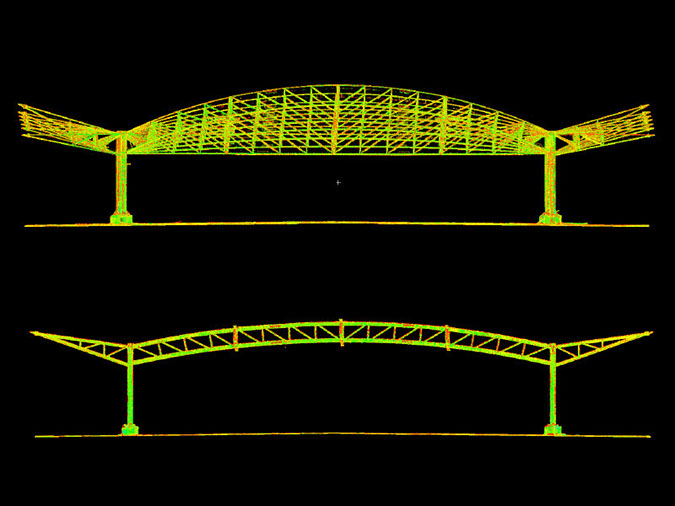
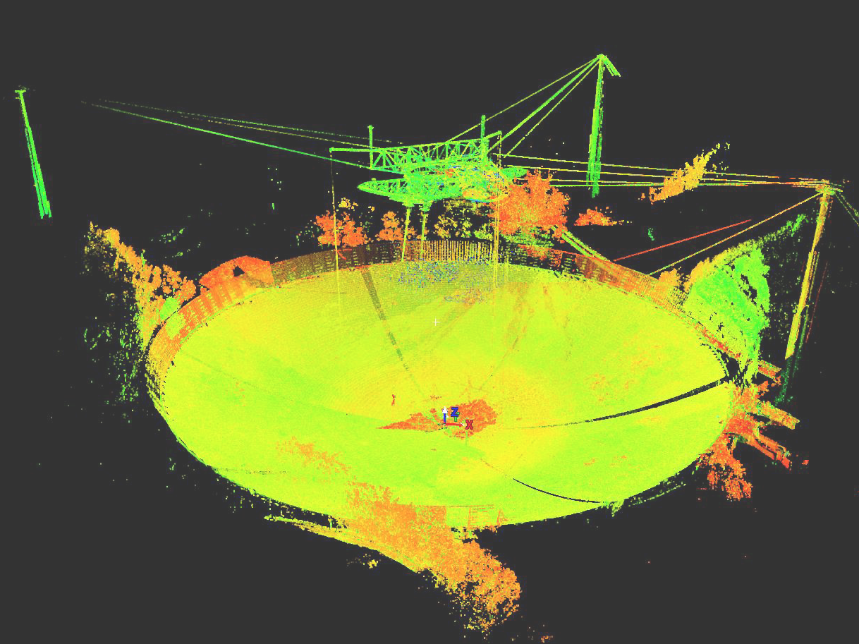
Arecibo Radio Telescope in Arecibo, Puerto Rico
3D Scanning

Arecibo Radio Telescope

Arecibo, Puerto Rico

BIM · Revit Model

Revit BIM Edificio de Administración y Restaurante El Livin, Parque Luis Muñoz Rivera, Viejo San Juan, PR

BIM · Revit Model

Revit BIM Pabellón de la Paz, Parque Luis Muñoz Rivera, Viejo San Juan, PR

Licensed & prepared

Professional standards across three jurisdictions.

MFORCE is licensed to support projects in Puerto Rico, Florida, and the U.S. Virgin Islands. The company’s professional credentials and preparedness include CIAPR, OSHA, FEMA, among others.

Puerto Rico Florida U.S. Virgin Islands
Important clients

Trusted by organizations that shape communities.

Selected organizations that have trusted MFORCE with surveying, geospatial, and infrastructure work.

Banco Popular
PRIDCO
Lilly del Caribe
Tetra Tech
ICF
Marvel
UAGM
Lockhart
WSP
Your next project

Start with certainty.

Tell us what you need to understand, document, or build. Our team will help identify the right surveying approach.

Contact MFORCE