3D Scanning
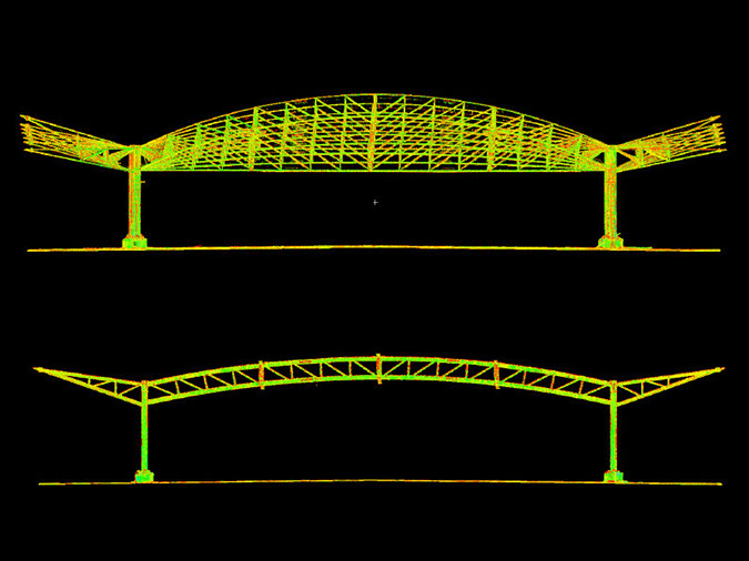
Commercial Building 3D Scanning
Hato Rey, San Juan, Puerto RicoCommercial building scanned during construction for structural element verification of a new rooftop plaza.
A selection of projects spanning 3D scanning, aerial mapping, as-built documentation, topography, and critical infrastructure.
Commercial building scanned during construction for structural element verification of a new rooftop plaza.
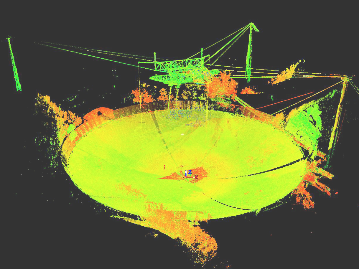
The radio telescope was documented with a Leica ScanStation P40, GPS antennas, total station, automatic levels, and drones to study structural elements.
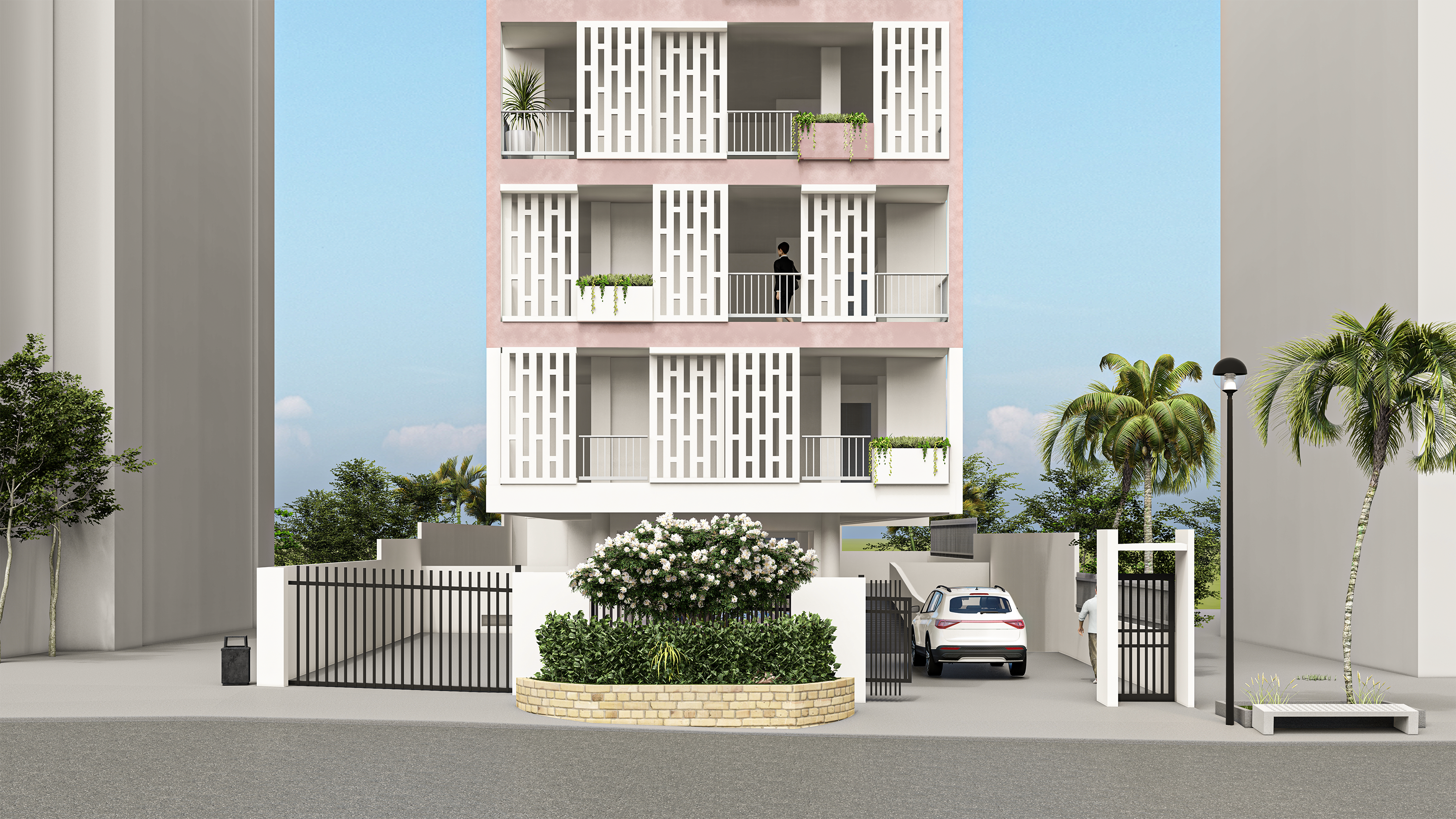
Rendering of existing apartment building for design project.
Historical building documentation for restoration project.
Historical building documentation for restoration project.
Historical building documentation for restoration project.
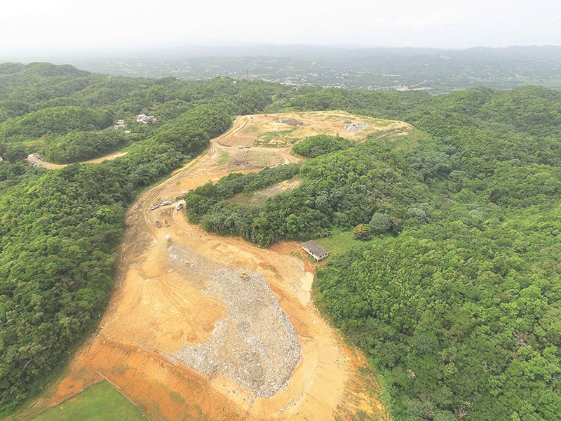
Topographic mapping, volume determination, life expectancy, and capacity analysis using UAV drone and Trimble R10 GNSS equipment.
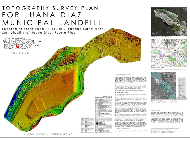
Topographic mapping, volume determination, life expectancy, and capacity analysis using UAV drone and Trimble R10 GNSS equipment.
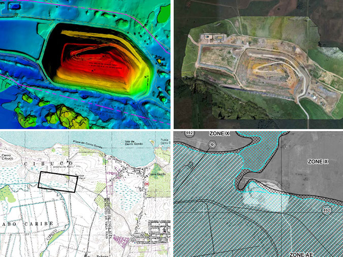
Topographic mapping, volume determination, life expectancy, and capacity analysis using UAV drone and Trimble R10 GNSS equipment.
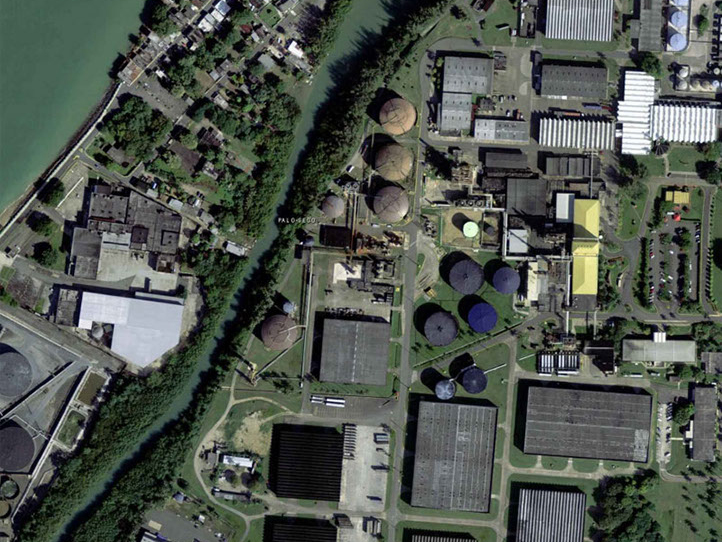
Sulfur tank modeling at Bacardí distillery facilities using a Leica ScanStation P40 and Trimble SX10 for central-axis determination.
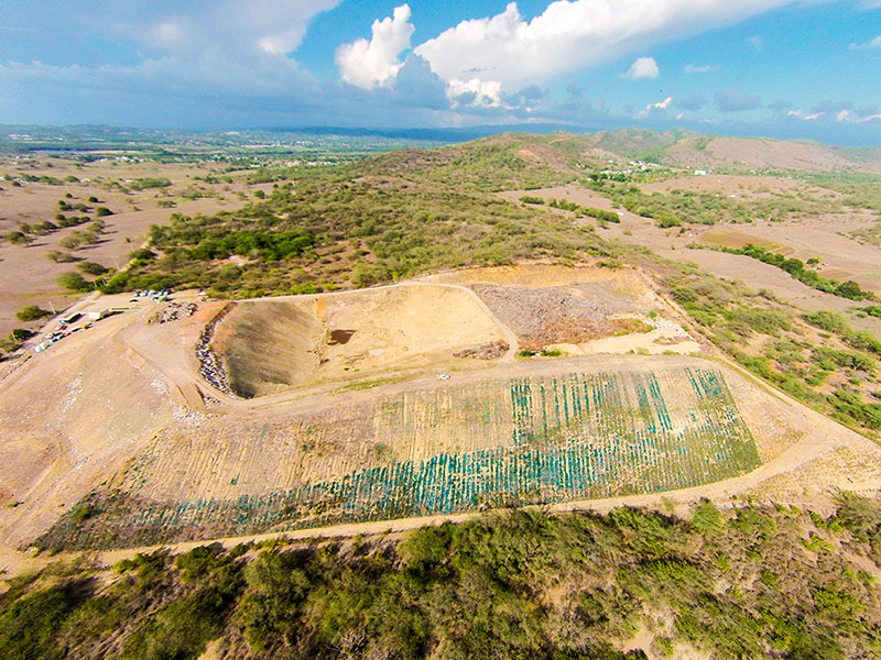
Topographic mapping, volume determination, life expectancy, and capacity analysis using UAV drone and Trimble R10 GNSS equipment.
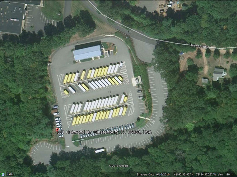
As-built and topographic survey for the construction of a solar-panel garage using Trimble GNSS equipment and UAV drones.
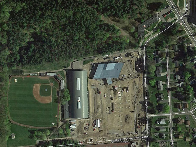
Rooftop as-built and land topography for photovoltaic system design and construction using GNSS, total station, and UAV drone.
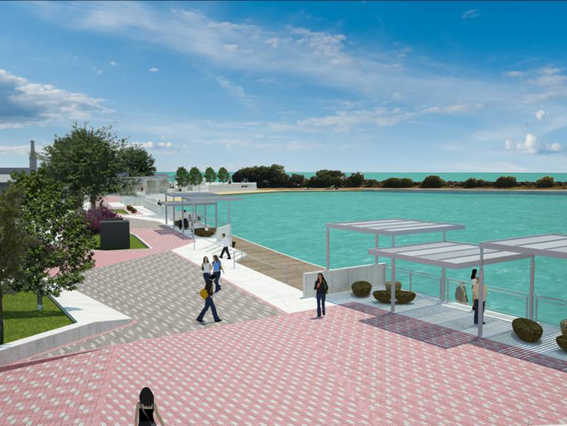
As-built study for the renovation of the Arroyo waterfront and mean high-water determination for maritime-zone delineation.
Our team can help define the field approach and deliverables required for your site.
Start a conversation