info@mforcegroup.com 141 Ave. José de Diego, San Juan, PR 00927
Our Team

Experience in the field. Discipline in every deliverable.

Meet the professionals behind MFORCE Surveying's surveying, reality capture, and geospatial services.

Team & expertise

Leadership and field professionals.

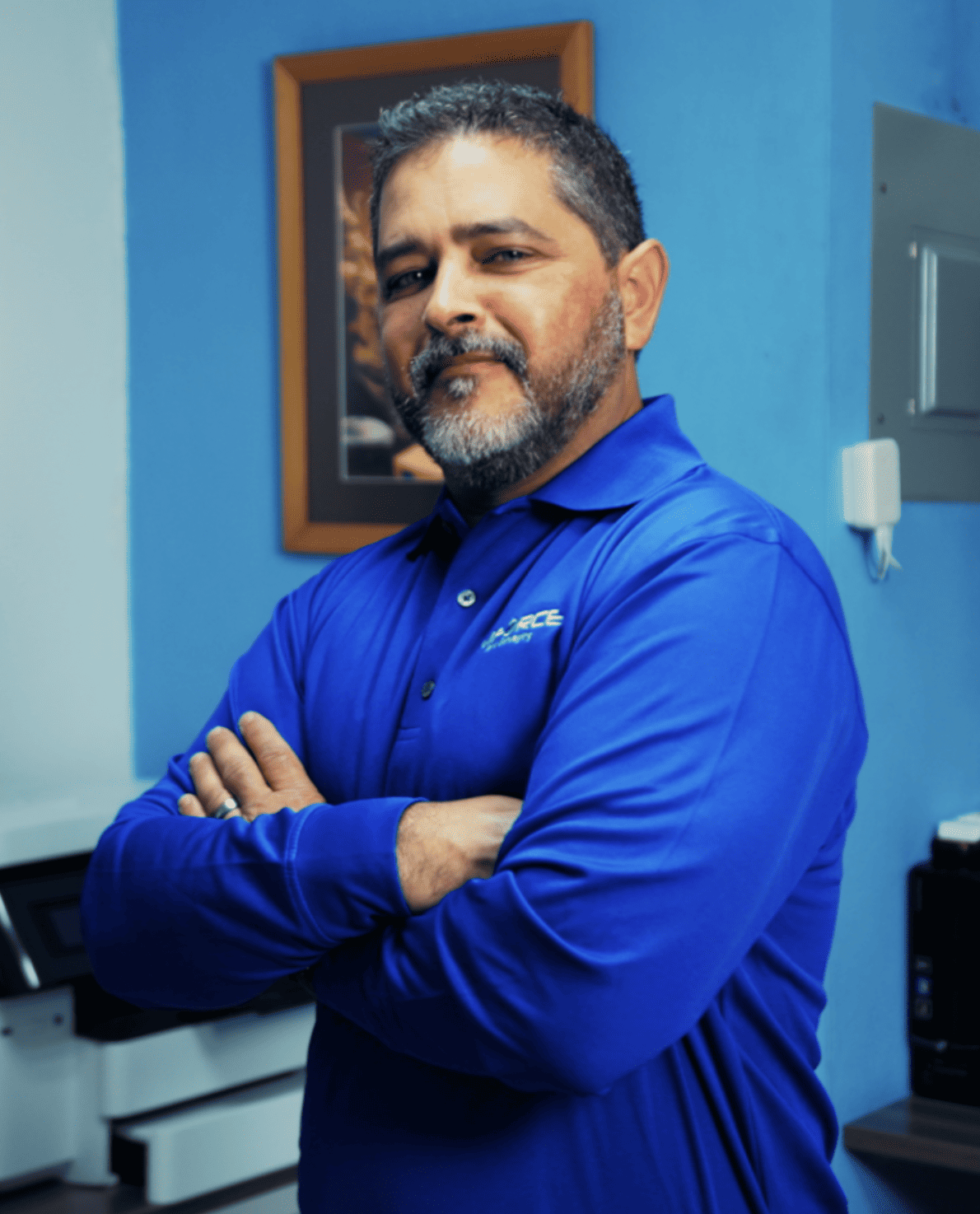
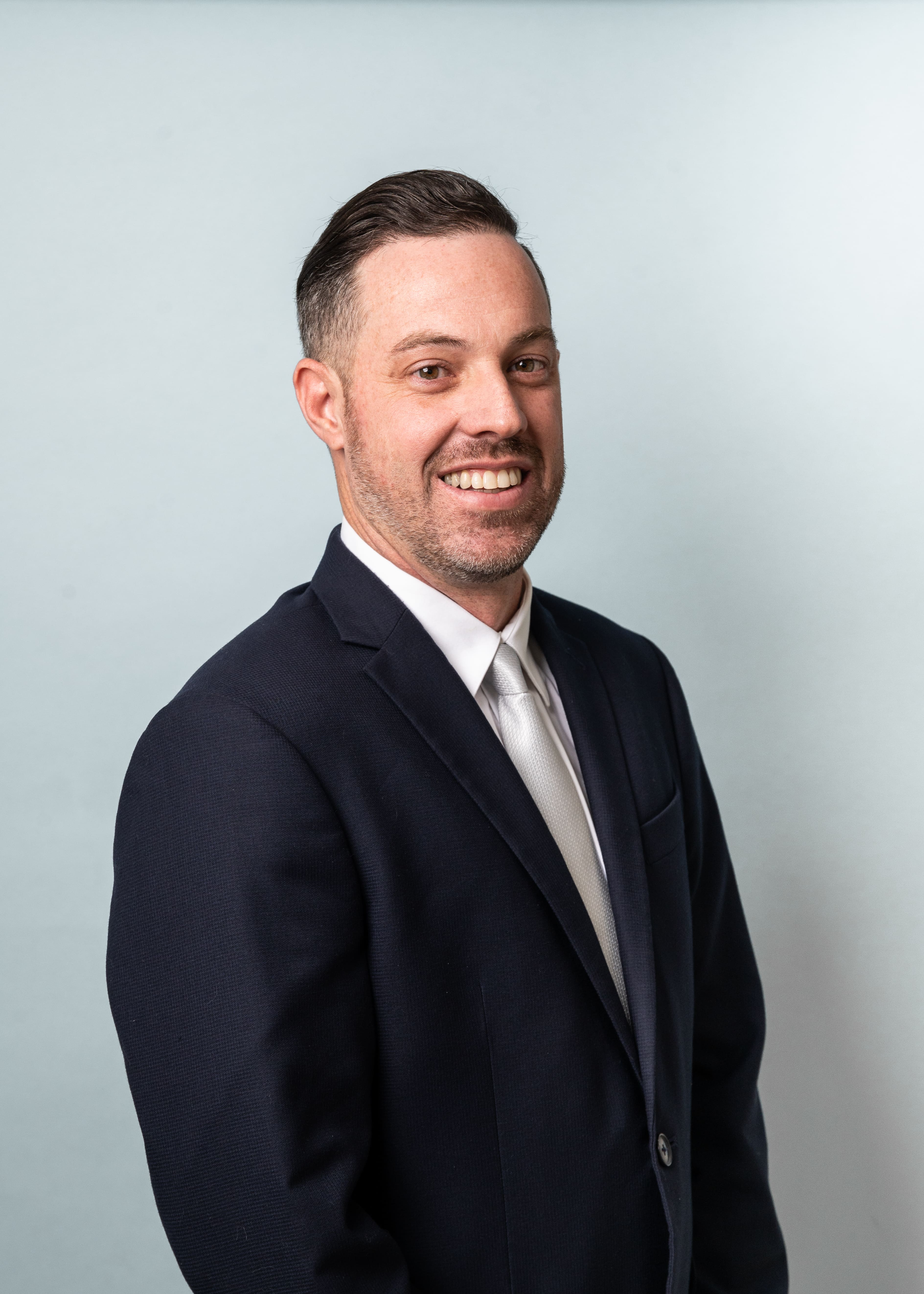
Carlos Fournier

Carlos Fournier

PLS, BSCE · President

Carlos R. Fournier Morales serves as President of MFORCE Surveying, bringing more than 20 years of experience in land surveying, geomatics, and civil engineering. Throughout his career, Mr. Fournier has led and managed a wide range of surveying projects throughout Puerto Rico and the Caribbean, with extensive experience in boundary, topographic, construction, infrastructure, and advanced geospatial services. His expertise includes managing projects from initial field data collection through processing, quality control, and final deliverables, ensuring accurate and reliable survey information for complex projects. Mr. Fournier earned a Bachelor of Science in Land Surveying and Topography from the University of Puerto Rico at Mayagüez and a bachelor’s degree in Civil Engineering from the Polytechnic University of Puerto Rico. He is a Licensed Professional Land Surveyor in Puerto Rico, Florida, and the U.S. Virgin Islands, with experience implementing GNSS, 3D laser scanning, UAV mapping, and geospatial data solutions. He currently serves as President of the Colegio de Ingenieros y Agrimensores de Puerto Rico (2024–2026), following previous service as First Vice President of the Colegio and President of the Instituto de Agrimensores de Puerto Rico.
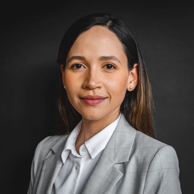
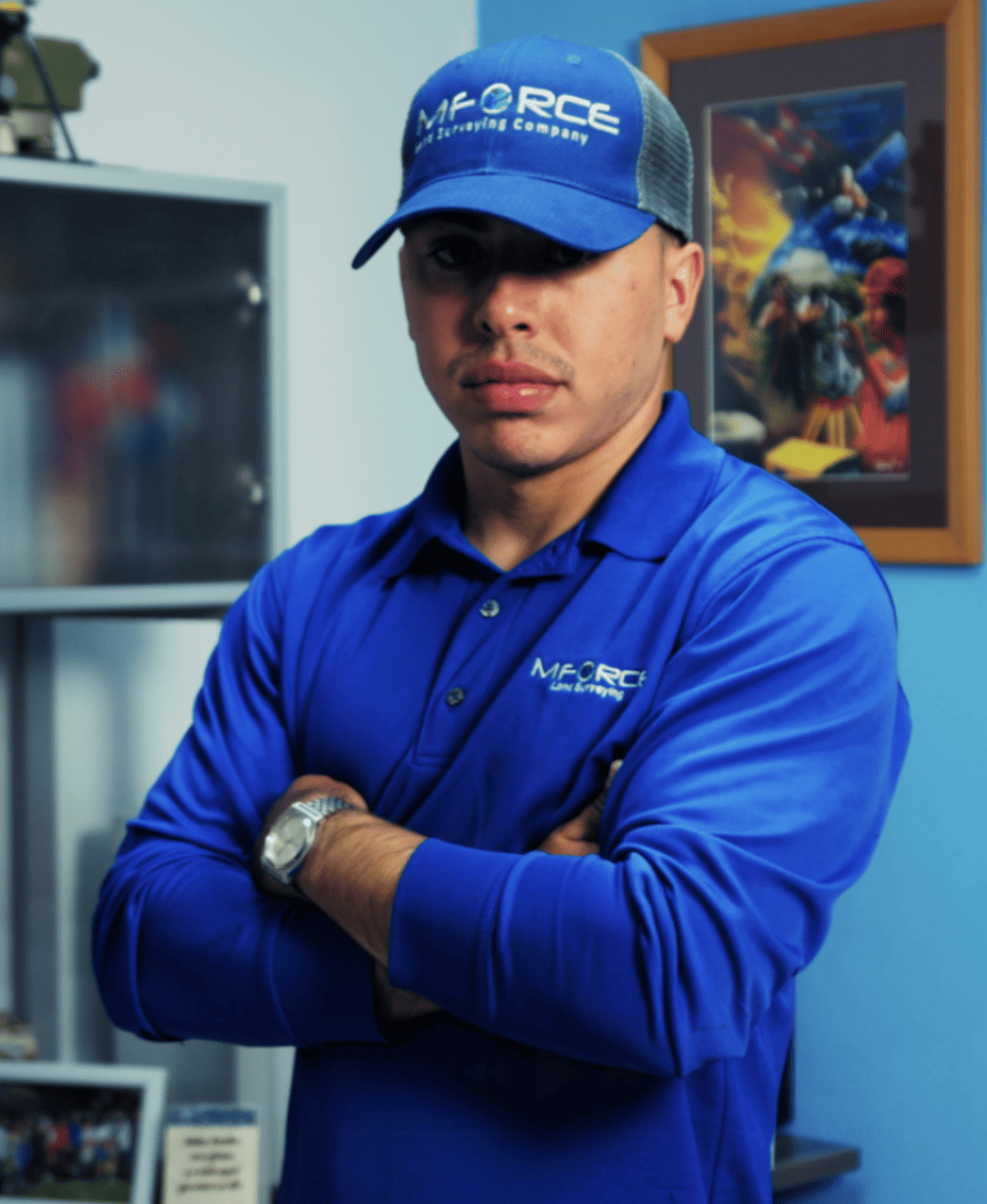
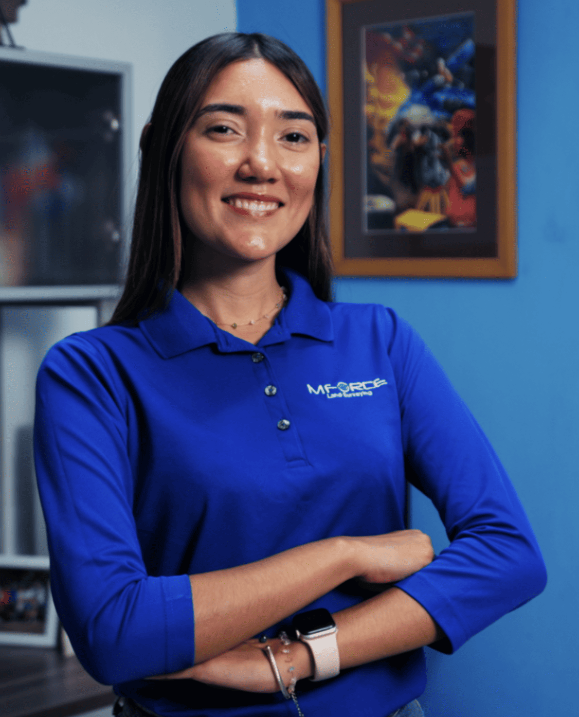
Nicole Rodríguez

Nicole Rodríguez

SIT · Office & Project Manager

Nicole N. Rodríguez Bonilla serves as MFORCE Surveying’s Office and Project Manager, overseeing project coordination, scheduling, quality control, and client communications. She earned her Bachelor of Science in Land Surveying and Topography from the University of Puerto Rico at Mayagüez. With more than five years of professional experience, she is also a skilled 3D Laser Scanning Technician specializing in high-precision reality-capture data. Her experience includes delineation of the Maritime Terrestrial Zone, land conformity certifications before PRHTA or DTOP, FEMA Elevation Certificates, tract-of-land investigations, boundary determinations, title research, and land-development support.

Richard Torres

Richard Torres

SIT · Party Chief

Richard K. Torres Avilés serves as a Party Chief at MFORCE Surveying, bringing more than five years of professional experience in land surveying. He leads field crews throughout Puerto Rico and is responsible for the collection, management, and quality control of field data, equipment operation, and coordination of daily field activities. His experience includes boundary, topographic, as-built, and construction stakeout surveys, survey plans, technical reports, and supporting documentation. He earned his Bachelor of Science in Land Surveying and Topography from the University of Puerto Rico at Mayagüez, is an active Surveyor-in-Training, and serves on the Board of Directors of the Instituto de Agrimensores del Colegio de Ingenieros y Agrimensores de Puerto Rico.

Sujeysmar Rodríguez

Sujeysmar Rodríguez

SUE Technician

Sujeysmar Rodríguez Vélez serves as a SUE (Subsurface Utility Location) Technician at MFORCE Surveying, bringing more than four years of professional experience in land surveying and subsurface utility investigations. She began her career with MFORCE as an intern and, following graduation, continued to grow within the company across infrastructure and construction projects throughout Puerto Rico. She earned her Bachelor of Science in Land Surveying and Topography from the University of Puerto Rico at Mayagüez. In addition to her SUE responsibilities, she performs field surveying and assists with the acquisition and processing of high-precision 3D laser-scanning data.

Joel López

Joel López

Senior Draftsperson

Joel López serves as MFORCE Surveying’s Senior Draftsperson, bringing more than 24 years of experience in land surveying, drafting, and geospatial data processing. He prepares survey plans and technical drawings, transforming field data into accurate deliverables for engineering, design, permitting, and construction. His experience includes field and office operations, nearly two years in photogrammetry, construction stakeout for an Amazon distribution center in Delaware, as-built surveying of a U.S. military installation in Vicenza, Italy, and LiDAR scanning of FBI offices in New York, along with boundary, topographic, SUE, laser-scanning, and infrastructure projects.

Patria Cruz

Patria Cruz

Draftsperson

Patria Cruz García serves as a CAD technician, bringing more than three years of professional experience in land surveying and over ten years as a draftsperson. She prepares survey, as-built, SUE, and topographic plans and ensures that field data is represented accurately and understandably. She earned her Bachelor of Science in Landscape Architecture from UAGM’s Gurabo Campus and is currently pursuing a master’s degree.

Luis Rodríguez

Luis Rodríguez

BSLS · SUE Party Chief

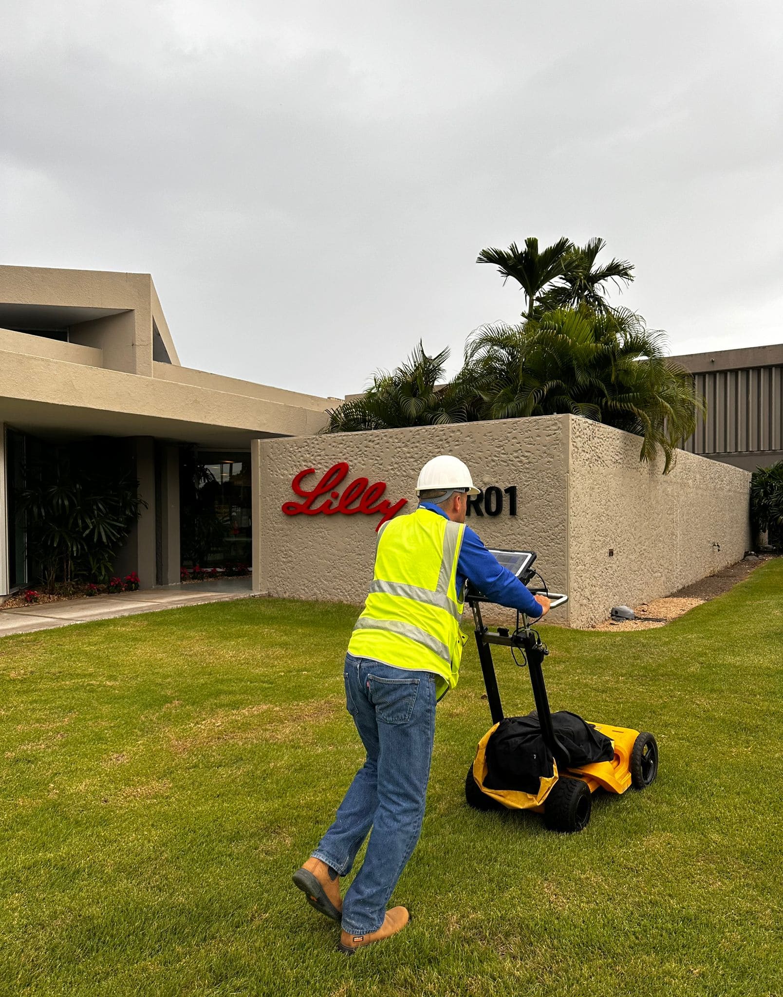
Luis Rodríguez Bonilla serves as a SUE (Subsurface Utility Engineering) Party Chief at MFORCE Surveying, bringing nearly 20 years of experience in land surveying and subsurface utility investigations. He leads field crews in the execution of SUE projects for infrastructure and construction projects throughout Puerto Rico and is responsible for coordinating field operations, collecting and managing utility data, and ensuring the accurate identification and documentation of existing underground utilities. Mr. Rodríguez earned his Bachelor of Science in Land Surveying and Topography from the University of Puerto Rico at Mayagüez. He is committed to delivering accurate, reliable, and high-quality utility data while upholding the firm's standards of safety, professionalism, and technical excellence.

Miguel López

Miguel López

SUE Technician

Miguel López serves as a SUE (Subsurface Utility Engineering) Technician at MFORCE Surveying, bringing more than four years of experience in subsurface utility investigations and field operations. He supports infrastructure and construction projects throughout Puerto Rico by assisting with the collection, documentation, and management of utility data. Mr. López has received specialized training in Subsurface Utility Engineering (SUE) and is experienced in the use of utility locating equipment and Ground Penetrating Radar (GPR). His training and field experience support the accurate identification and documentation of existing underground utilities for a variety of surveying projects.

Daniel Cruz

Daniel Cruz

BSCE · Party Chief

Daniel Cruz serves as a Party Chief at MFORCE Surveying, bringing more than 30 years of experience in land surveying and field operations. Throughout his career, he has developed extensive expertise in boundary, topographic, as-built, ALTA/NSPS, and construction stakeout surveys, supporting a wide range of surveying projects throughout Puerto Rico. Mr. Cruz plays a key role in the successful execution of MFORCE's field operations, overseeing data collection, coordinating field activities, and ensuring the accuracy and quality of survey deliverables. He earned his degree in Civil Engineering from the Polytechnic University of Puerto Rico. His extensive knowledge, field experience, and commitment to excellence make him an integral member of the MFORCE team, contributing to the successful completion of complex surveying projects for public and private sector clients.

José Arias

José Arias

Party Chief

José Arias serves as a Party Chief at MFORCE Surveying, bringing more than 54 years of experience in land surveying and field operations. Having begun his surveying career at the age of 17, he has participated in numerous infrastructure, transportation, and construction projects throughout Puerto Rico, the U.S. Virgin Islands, and Florida. Mr. Arias specializes in construction stakeout, boundary surveys, land surveying, and topographic surveys. Throughout his career, he has contributed to major projects including the Teodoro Moscoso Bridge, PR-10 in Utuado, Route 66, the Southern Gas Pipeline, the Bayamón–Cataño Supertubo, the PR-2 and Corozal Expressway projects, and the establishment of survey benchmarks at Roosevelt Roads and Ceiba. His extensive field experience, dedication, and commitment to quality have made him a trusted member of the MFORCE team, contributing to the successful completion of projects for public and private sector clients.

Juan Rodríguez

Juan Rodríguez

Crew Member

Juan Rodríguez serves as a Survey Technician at MFORCE Surveying, bringing more than 15 years of experience in land surveying and field operations. Since 2010, he has participated in a variety of surveying projects throughout Puerto Rico, supporting infrastructure and construction projects through the collection of accurate field data. Mr. Rodríguez has experience using advanced surveying technologies, including Trimble R12 GNSS receivers, 3D Laser Scanning, and Subsurface Utility Engineering (SUE) investigations utilizing Ground Penetrating Radar (GPR). His project experience includes major infrastructure projects such as the Bayamón and Cataño Supertubo, where he supported field surveying operations and data collection.