info@mforcegroup.com 141 Ave. José de Diego, San Juan, PR 00927
Services & technology

The right field method for every project question.

Integrated surveying, reality capture, utility investigation, modeling, and mapping services supported by professional judgment.

Complete capabilities

From the first control point to a trusted final deliverable.

Every project begins with its purpose. We select the equipment, field workflow, processing method, and quality controls required to produce useful—not merely impressive—data.

01
Boundary Surveys "Mensura"
Urban & Rural

Boundary Surveys "Mensura"

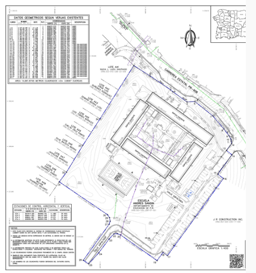
The purpose of a boundary survey is to establish the boundary lines of a new parcel of land, or to reestablish the boundary lines of an existing parcel. MFORCE conducts the necessary research and field data collection to accurately determine where property boundaries exist, mark the corners, document encroachments, and prepare a signed Certificate of Survey.
02
ALTA/NSPS Land Title Surveys
ALTA/ACSM–NSPS

ALTA/NSPS Land Title Surveys

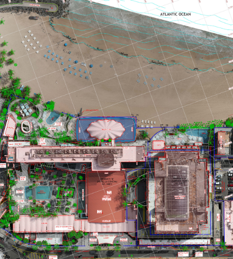
Prepared under standards developed by the American Land Title Association and the National Society of Professional Surveyors, these surveys give title insurers, buyers, and lenders a detailed drawing of buildings, improvements, easements, and property boundaries.

03
Mobile LiDAR Mapping
Trimble MX50

Mobile LiDAR Mapping

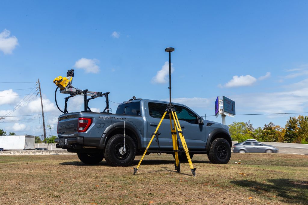
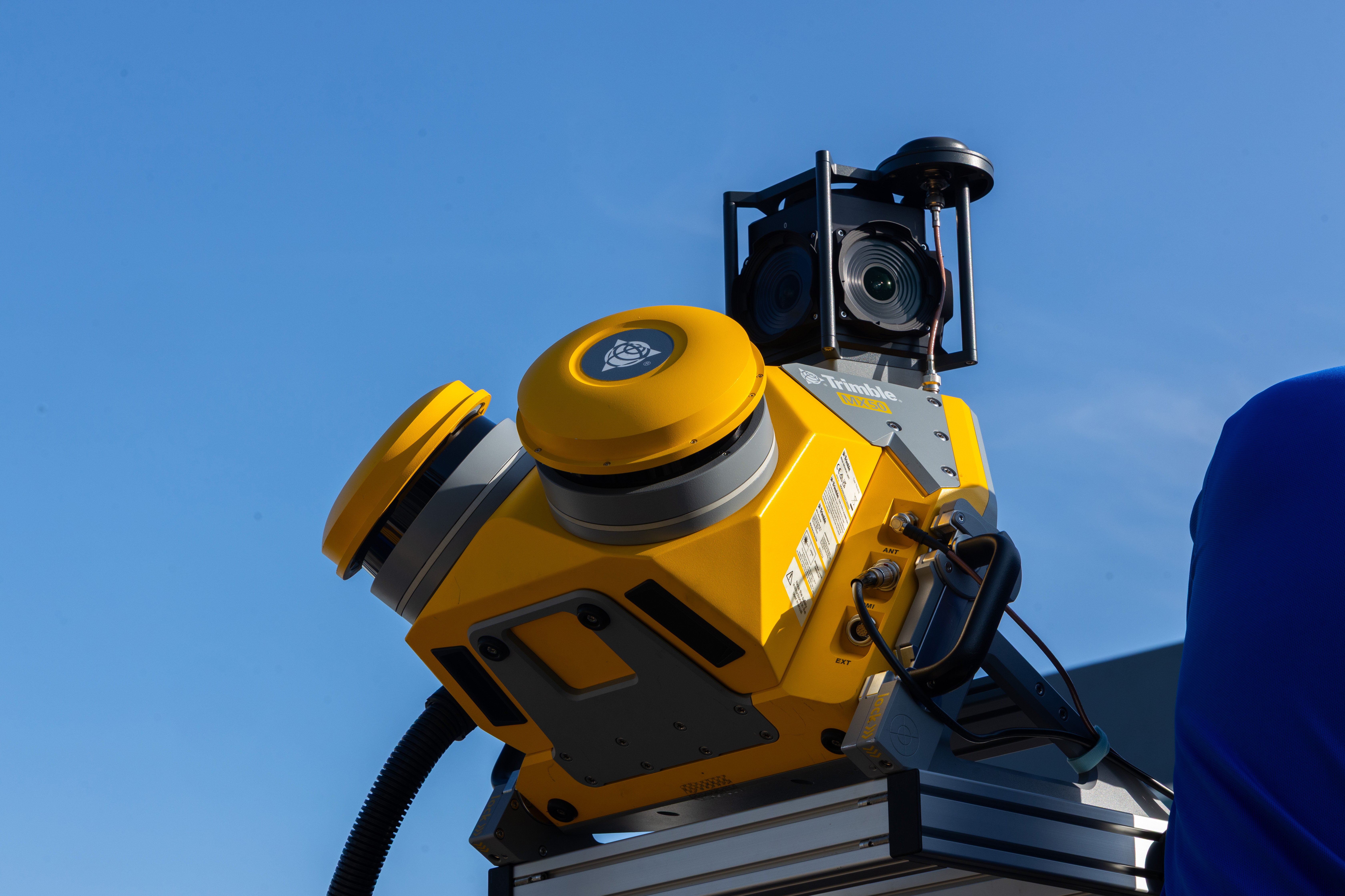
MFORCE leverages the Trimble MX50 Mobile Mapping System to provide fast, accurate, and efficient mobile LiDAR mapping services. It captures high-density georeferenced point clouds and immersive panoramic imagery at normal traffic speeds with minimal disruption, supporting transportation corridors, highways, utilities, municipalities, infrastructure, engineering design, asset management, GIS, and existing-conditions documentation.

Mobile LiDAR in the field

See the system, team, and results in action.

View the Mobile LiDAR brochure
Mobile LiDAR brochure, page 1 Mobile LiDAR brochure, page 2
04
Terrestrial LiDAR · 3D Laser Scanning
Trimble X9

Terrestrial LiDAR · 3D Laser Scanning

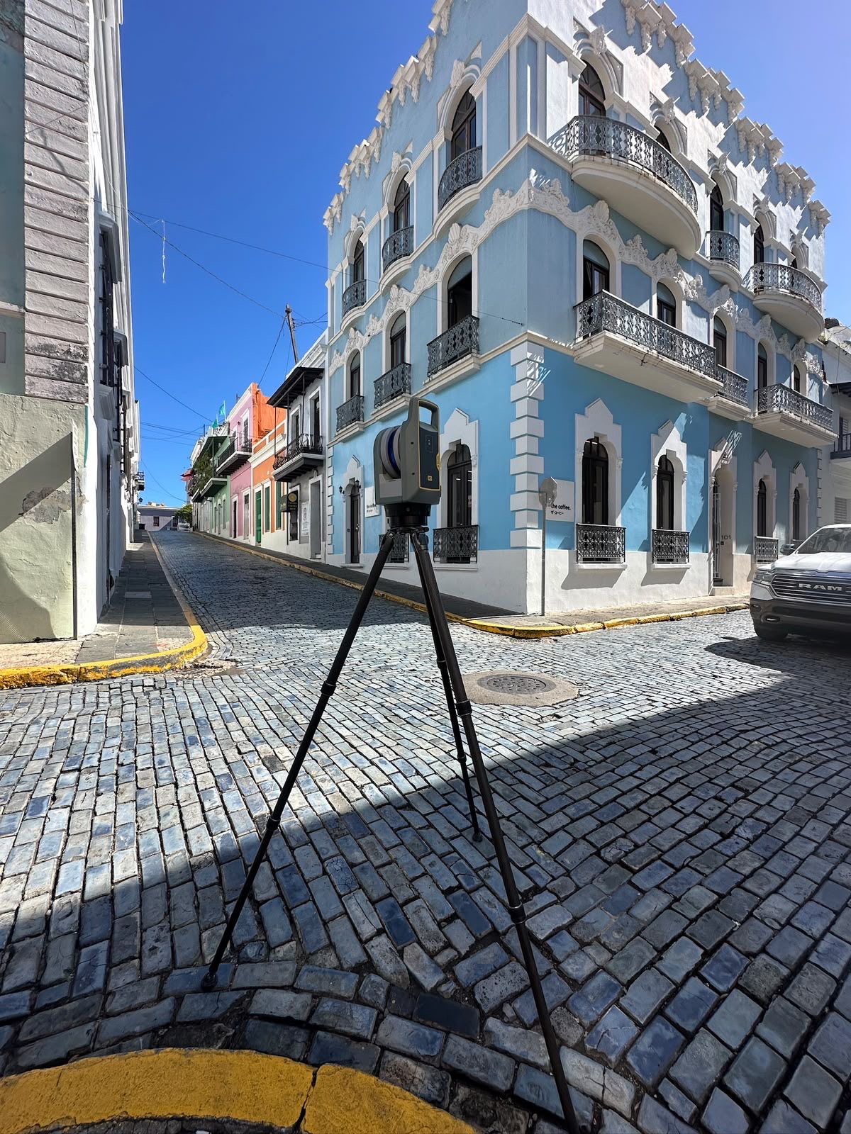
Terrestrial LiDAR 3D laser scanning provides a fast and highly accurate method for capturing existing conditions in exceptional detail. Millions of precise measurements generate high-density point clouds for buildings, industrial facilities, bridges, utilities, BIM, asset management, renovations, and quality control.

05
Subsurface Utility Engineering
SUE · Utility location

Subsurface Utility Engineering

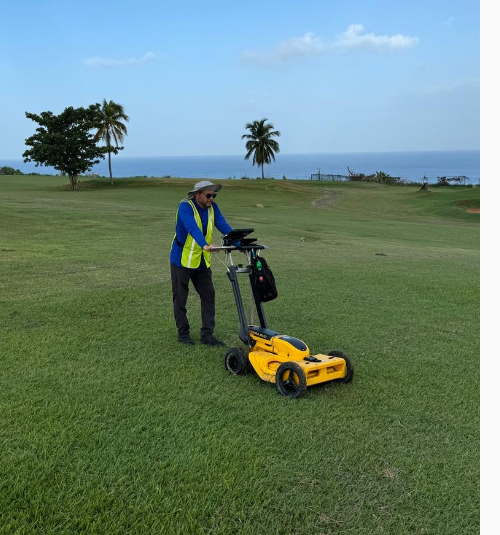
Utility location identifies and documents underground public utility mains, including telephone, electricity, natural gas, cable, fiber optics, traffic systems, storm drains, water mains, and wastewater pipes.

06
FEMA Elevation Certificates
Flood documentation

FEMA Elevation Certificates

Federal Emergency Management Agency elevation certificates document property elevations in mapped floodplains or flood hazard areas in relation to the base flood elevation.

07
Topographic & Contour Surveys
Topografía

Topographic & Contour Surveys

Topographic surveys determine both the horizontal location and elevation of selected ground points needed to plot contour lines and construct an accurate topographic map. They are similar to an ALTA/NSPS Land Title Survey, though less property information is included.

08
BIM — Building Information Modeling
BIM

BIM — Building Information Modeling

MFORCE combines point clouds, high-definition imagery, field verification, CAD, and professional land surveying expertise to create reliable models of existing conditions for design, construction, operations, and asset management.

09
Subdivision Development
Planning & platting

Subdivision Development

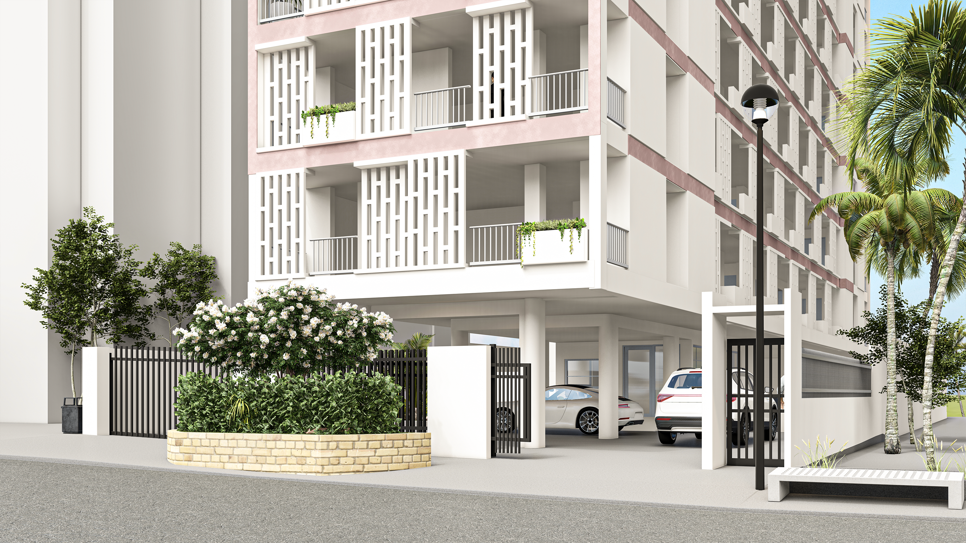
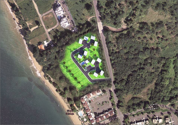
Subdivision surveys combine topographic information with property lines, improvements, easements, proposed lots, streets, utilities, building sites, parking, drives, sidewalks, and landscaping to support permitting, platting, and construction staking.

10
Construction Stakeout
Replanteo

Construction Stakeout

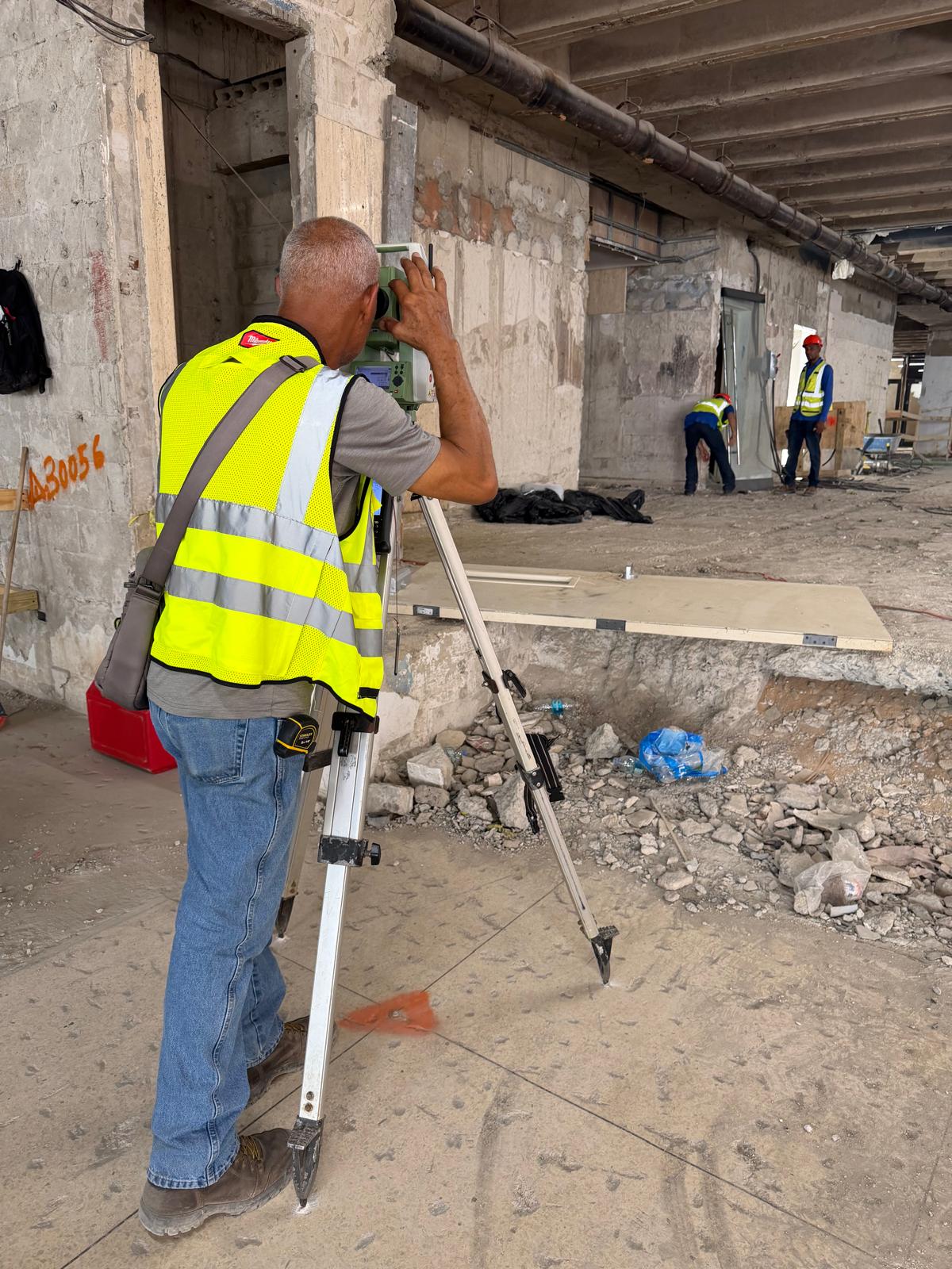
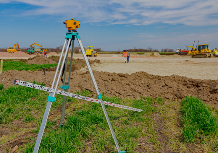
Construction surveying establishes field control, lines, grades, and markers for earthwork and structures, while supporting verification of completed work and project quantities.

11
Aerial LiDAR / Drone Mapping
UAV & LiDAR

Aerial LiDAR / Drone Mapping

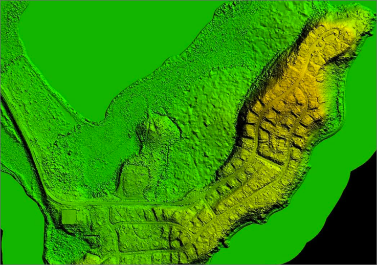
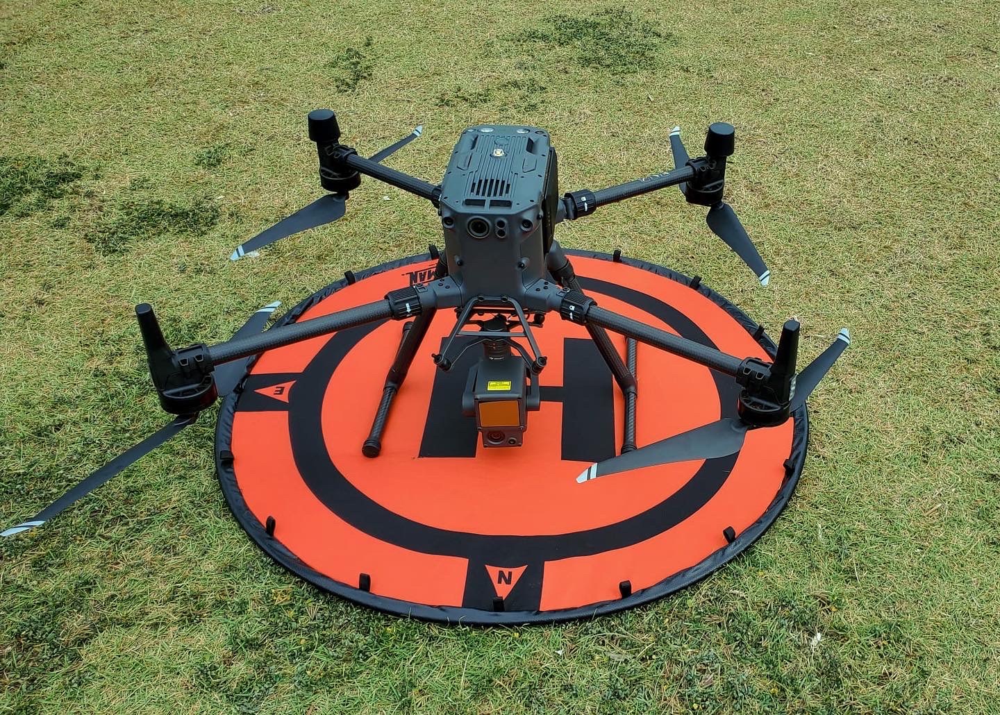
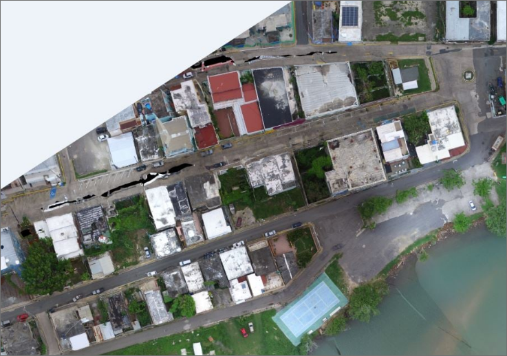
MFORCE manages experienced aerial mapping teams and selects the appropriate technology for each project, from LiDAR and aerial imagery to accurate digital terrain models.

12
Site Development
Planning support

Site Development

Integrated topographic, boundary, utility, access, parking, landscape, and proposed-development information supports permitting, planning, and construction staking.

13
Expert Witness Testimony
Peritaje en corte

Expert Witness Testimony

Professional surveyors gather and report technical facts involving sight lines, grade changes, stopping distances, encroachments, and other field evidence for attorneys, insurers, law enforcement, and litigation.

14
Route Surveys & Right-of-Way Acquisition
Infrastructure corridors

Route Surveys & Right-of-Way Acquisition

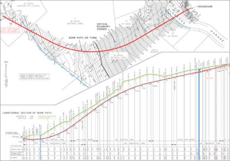
Route surveys establish the topographic, boundary, and control information needed to plan, document, and acquire rights-of-way for roads, utilities, and other linear infrastructure projects.

15
GPS (Global Positioning System) Satellite Surveys
GNSS positioning

GPS (Global Positioning System) Satellite Surveys

High-accuracy satellite surveying establishes dependable horizontal and vertical control for property, topographic, construction, infrastructure, and geospatial projects.

16
Ground Control for Aerial Mapping
Photogrammetric control

Ground Control for Aerial Mapping

Ground control surveys determine the horizontal and vertical location of visible points required to produce accurate aerial maps, orthophotos, and digital terrain models.

17
Boundary Conformity
Conformidad de Colindancias

Boundary Conformity

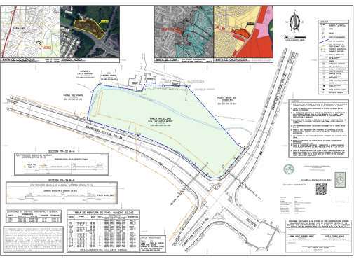
MFORCE Surveying, PSC provides Boundary Conformity Plans to establish and document property boundaries in relation to existing state road rights-of-way. Our team conducts the necessary field surveys and prepares the required documentation in accordance with applicable laws, regulations, public records, and DTOP/ACT requirements, supporting clients through the preconstruction process with accurate and objective surveying information.